Climate & Health
Incorporating climate, weather, and environmental data into DHIS2 can help to close the data gap between climate and health and deploy sustainable digital systems that address local health priorities, provide evidence for national climate change adaptation and public health policies, and support effective health interventions to respond to climate-related health risks.
Hisp Health
Hisp Climate
Mozambique: Malaria early warning
Initial work has begun to add a Climate & Health early warning component to the Ministry of Health’s national DHIS2-based malaria information system. It uses malaria data (aggregate weekly cases at the district level) from the national DHIS2 database and weekly meteorological data (temperature, atmospheric pressure, and precipitation) from the Copernicus data set that is pulled into DHIS2 Maps via the Google Earth API. From DHIS2, this data is run through a statistical model that outputs malaria outbreak probability in 4- and 8-week predictions. These indicators are returned to DHIS2 where they are displayed on dashboards in several formats, including maps for geospatial analysis and a chart with an outbreak warning threshold (target line). The dashboards are customized at the district level to facilitate action in the form of local preventative measures. This system was initially developed through a Clinton Health Access Initiative (CHAI) project with technical support from Saudigitus (HISP Mozambique). It is currently in the development phase.
Malawi: Agriculture & food security
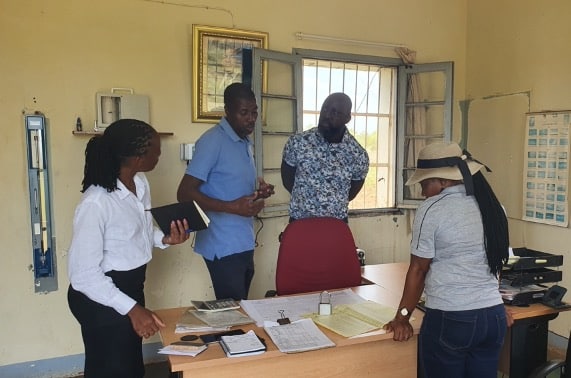
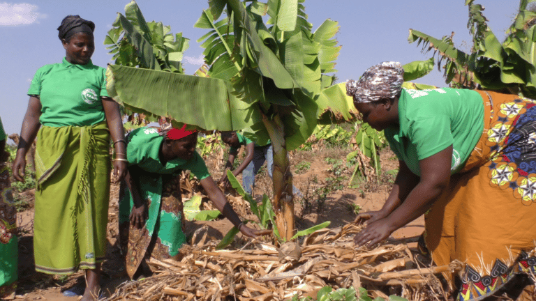
Malawi has deployed a DHIS2 system for climate-resilient food security. This DHIS2-based National Agriculture Management Information System (NAMIS) relies on partnership and data sharing between the MoH, Ministry of Agriculture, and Department of Climate Change and Meteorological Services (DCCMS). It involves collection of local weather data into DHIS2 by Agricultural Extension Development Officers using tablets running a custom app. This local data is combined with weather station and satellite data and used by DCCMS to make short-term and seasonal projections and forecasts, which the NAMIS system uses to generate early warnings to farmers about localized weather events such as floods or droughts so that they can take action to safeguard their crops. The data also helps the government plan special safety interventions like evacuations or large-scale irrigation which are beyond the capacities of individual households.

